GIS is not a subject you can learn by reading about it. It is a set of tools (geodatabases, coordinate systems, field collection apps, web map builders) that only make sense with the software open in front of you. Which is why professional training has stayed stubbornly classroom-shaped: a room, a timetable, an instructor, a week away from the desk. The people who most need it already use the software all day, and they are the ones who cannot spare the week.
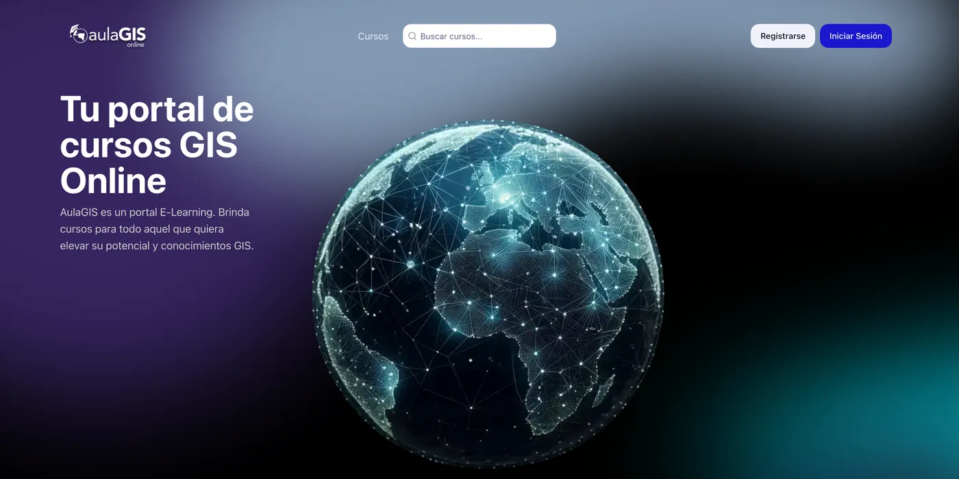
AulaGIS is a Spanish-language course portal built for exactly that. The catalogue runs from GIS Primeros Pasos through geodatabase administration, Survey123 form design, Experience Builder and StoryMaps. The practice is done in ArcGIS Online rather than in the abstract. Every course states the same facts up front: module count, thirty days of access, a certificate of completion, a price in dollars. Accounts, cart, checkout and profile sit behind it, so enrolling is a purchase rather than an enquiry.
The design idea was to make each course page read like a syllabus rather than a sales page. Its spine is the module list, and the objectives are written as plain verbs; at the foot, the price block repeats so the decision travels with the reading. Every course renders from the same fields, which keeps the catalogue comparable at a glance. Public pages are server-rendered and indexable, while accounts and checkout stay behind the sign-in boundary. The Spanish is Rioplatense throughout, not translated: elegí, descubrí, conocé.