A water main does not fail without warning. It seeps and loses pressure, and it accumulates work orders, inspection notes and soil records. All of that is captured somewhere; none of it sits in the same place. Cities and utilities are better instrumented than they have ever been and no closer to a shared account of what is actually happening on the ground. A map tells you where. Dashboards report what already happened. Neither can act.
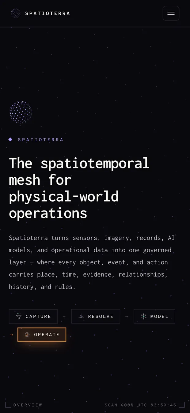
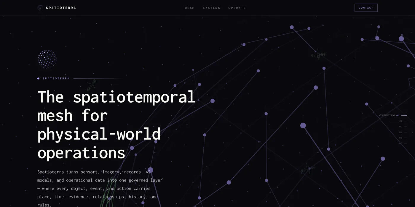
Spatioterra is a spatiotemporal mesh. Sensors, imagery, records, models and operational data resolve into one governed layer, where every object, event and action carries place, time, evidence, relationships, history and rules. The whole system rests on three primitives (objects, events, actions) read across eight operating dimensions. Signals become operational objects, and approved decisions write back into the systems that run the work. AcquaTerra narrows the same mesh to a water network, ranking every segment by risk rather than hindsight.
The site is built the way the product is: one continuous spine of full-height plates, each numbered and labelled, moving from overview to primitives to the eight dimensions to the systems that run on them. Everything is set in a hyperlegible monospace on near-black, with a single accent colour per domain. Violet marks the mesh, teal the network, amber the places where the system acts. Diagrams are live rather than screenshotted; a node holds when you hover or tab to it, and motion stands down when the reader asks it to.