Everything happens somewhere, and almost nothing is filed that way. A water utility knows how many kilometres of main it owns without knowing which stretch is failing. An energy company holds decades of survey data in formats nobody opens. Geographic information systems have answered this for decades, but the category still reads as specialist equipment: a back room of cartographers, a licence list running to well over a hundred names. The capability has been there all along. Getting at it is the difficult part.
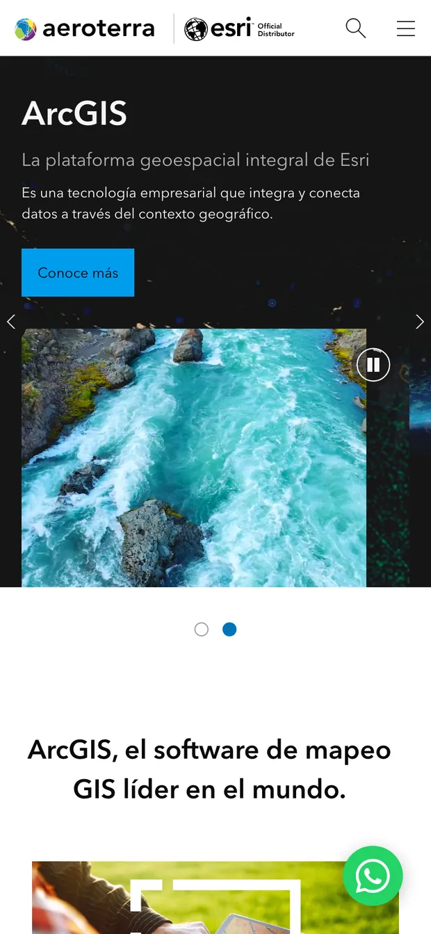
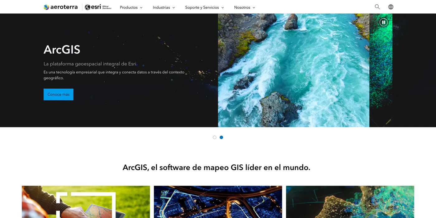
Aeroterra is the authorised Esri distributor for Argentina and Uruguay, licensing and supporting the ArcGIS platform across both markets. The site carries the whole of it: ArcGIS Online, Pro and Enterprise, the server extensions, the field apps used to collect data offline, the developer APIs and the data catalogues. Alongside them sit two products Aeroterra builds itself (SmartLIS for cadastral administration, Yacimiento Virtual for oil-field planning). Two regional editions, Argentine and Uruguayan, run from one structure.
The organising idea is to teach before selling. A primer on what GIS actually is sits at the top level of the site, not buried in a resources tab, and covers mapping, spatial analysis, data management and communication. Industry comes next: water, mining, oil and gas, telecoms, public safety, each carrying an account of a working deployment. Only then the catalogue, grouped the way the platform is bought rather than alphabetised. The typography stays plain; the contact form routes by sector, organisation type and interest.